What a Star Map Actually Shows
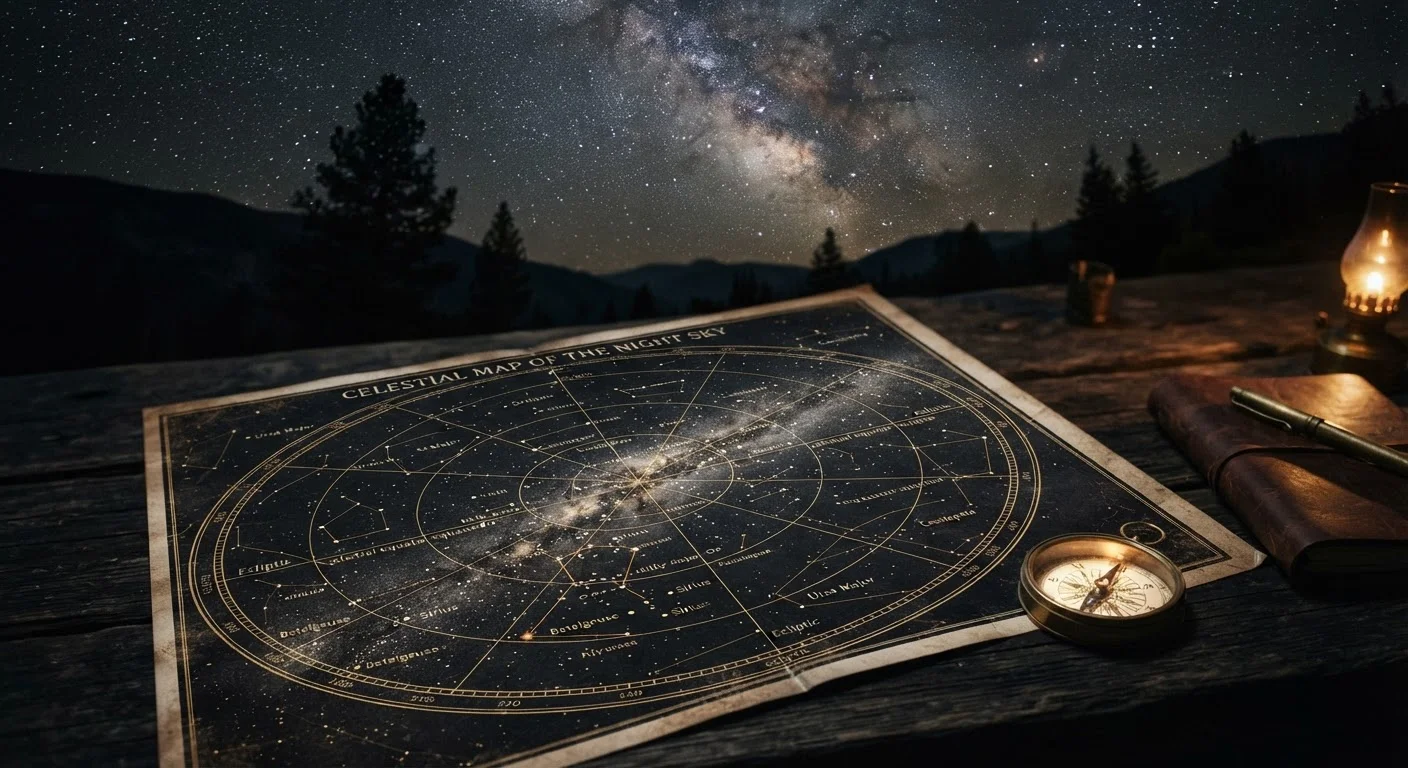
A star map - sometimes called a sky chart or planisphere - is a two-dimensional representation of the celestial sphere as seen from a specific location on Earth. The dots represent stars, with size indicating relative brightness (magnitude). Lines connecting clusters of stars trace the 88 officially recognized constellations defined by the International Astronomical Union.
The critical thing to understand is that a star map is time-sensitive and location-dependent. A chart printed for January at 9 p.m. in New York will look noticeably different from the sky visible in July, or even two hours later the same night. The Earth's rotation sweeps different portions of the celestial sphere into view throughout the night, while its annual orbit around the Sun shifts the entire backdrop of stars season by season.
Most beginner star maps are printed as circular charts with cardinal directions (North, South, East, West) around the rim. One common point of confusion: East and West appear reversed compared to a standard ground map. That's intentional - you hold the chart overhead, matching the rim to your horizon, which flips the orientation back to match what you see.
For more context on the scale of what you're looking at, see how astronomers visualize solar system distances - it puts the apparent proximity of stars into perspective.
Free Tools Make Setup Easy
Stellarium (stellarium.org) is a free, open-source planetarium that generates accurate sky maps for any date, time, and location worldwide. Many public libraries also loan physical planisphere wheels. Starting with a tool calibrated to your exact coordinates removes the most common source of beginner confusion.
Before You Go Outside: Preparation
Effective stargazing begins before you step out the door. Choose a map matched to your current date and approximate time - most planisphere wheels let you align a date ring with a time ring to display the correct sky window. Digital tools like Stellarium (free, open-source) or the free tier of SkySafari generate charts matched precisely to your GPS coordinates.
What you will need
Print or download your map, but protect your night vision once outside. Human rod cells - the photoreceptors responsible for low-light vision - take roughly 20 minutes to fully dark-adapt after exposure to bright light. Using a red-light flashlight to read your map preserves this adaptation; white light resets the process almost instantly.
Step-by-Step: Reading the Map Under the Sky
Follow the steps below in sequence. Rushing past orientation into deep-sky objects is the most common reason beginners feel lost.
Face North and orient your map
Stand facing north - use a compass or locate Polaris (the North Star) if you know roughly where it is. Hold the star map overhead or in front of you with the North label on the map's rim pointing away from you, toward actual north. The map's edges now correspond to your four horizons.
Find your anchor constellation
Don't try to identify every star at once. Choose one bright, recognizable pattern appropriate for the season: Orion (winter), Leo (spring), Scorpius (summer), or the Great Square of Pegasus (fall). Locate it on the map, then find it in the actual sky. This is your anchor.
Use star-hopping to navigate outward
Star-hopping is the technique of using known stars as stepping stones to find unfamiliar ones. From your anchor, trace the lines on your map to adjacent constellations. For example, the two outer stars of the Big Dipper's bowl point directly to Polaris - a well-documented pointer that astronomers have used for centuries.
Identify planets vs. stars
Planets are not printed on most static star maps because they move against the background of fixed stars. If you notice a bright point of light that doesn't appear on your chart, it's likely a planet. Planets generally don't twinkle the way stars do - their larger apparent disk stabilizes the light. Consult a dated planetary almanac or app to confirm.
Track your progress and revisit
After 20-30 minutes, note how the sky has shifted. Stars that were low on the eastern horizon will have climbed noticeably. Compare this movement to your map's rotation logic. Keeping a simple observation journal - date, time, location, what you found - builds a personal reference that accelerates learning faster than any single session can.
Once you've practiced this sequence on a clear night, the logic becomes intuitive. Pair this skill with knowledge of upcoming sky events - the astronomical events worth tracking through the year gives you specific targets worth planning around.
How the Sky Changes - and Why That Matters
Many beginners use a star map successfully once and then feel confused the next time out. The sky you see at 8 p.m. in March bears little resemblance to the sky at midnight in October. Two mechanisms drive this change.
Diurnal motion is the nightly east-to-west arc of stars caused by Earth's rotation. A constellation that clears the eastern horizon at 9 p.m. will be high overhead by midnight and setting in the west by 3 a.m. Stars near the celestial poles - the point in the sky directly above Earth's axis - rotate in tight circles and never set; these are called circumpolar stars. For observers in the continental United States, the Big Dipper and Cassiopeia are reliably circumpolar.
Annual motion shifts the entire night sky backdrop as Earth orbits the Sun, bringing different constellations into the evening sky each season. Orion dominates winter nights in North America; Scorpius rules summer. Using a map dated for the wrong season is a frequent source of beginner confusion - the shapes simply won't match what's visible.
Update your chart each session and always note the time alongside the date. With even a few sessions of practice, the seasonal rhythm becomes a reliable mental model rather than a puzzle.
Light Pollution Limits What You Can See
Urban and suburban skies can hide a large fraction of the stars printed on your map. If constellations look incomplete or stars seem missing, light pollution is the likely cause - not an error in your technique. The Bortle scale is a standard nine-point measure of sky darkness; even moving to a Bortle 4 or 5 site (rural outskirts) can reveal dramatically more stars than a city center.